![]() The following is the text of the Historic Places Hawke's Bay Submission.
The following is the text of the Historic Places Hawke's Bay Submission.
The Submission makes reference to attached snapshot images that were taken from the Auckland City Council GIS Viewer.
http://maps.aucklandcouncil.govt.nz/aucklandcouncilviewer/ (the heritage images can be found under Map View->Map Content->Cultural Heritage)
Permission is being sought to post these images on this site.
Draft Annual Plan 2014/15
Napier City Council
Private Bag 6010
NAPIER 4142
15 May 2014
Contact Details
Name: Denis Pilkington
Title: Chairman
Organisation: Historic Places Hawke’s Bay Inc
Phone: xxxxxxxxx
xxxxxxxxxxx
I wish to speak at the meeting
Summary of Submission to the Draft Annual Plan 2014/15
Incorporation of Historical Aerial Photographs into the Napier City Council GIS Maps Website
Currently the Napier website includes aerial photographs that date back 2009. By comparison the Wellington Webmap aerial photographs date back to 1996 and in Auckland historical aerial photographs have been incorporated that date back to 1940 in some areas. These historic views are evidently made up of a mixture of scans of old photographs and digital images provided by aerial mappers.
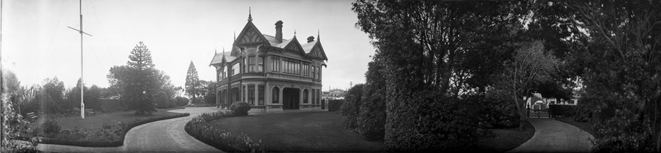
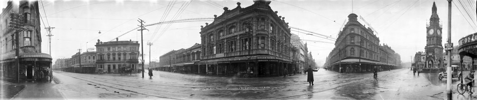
The Napier City Council has a comprehensive collection of aerial photographs of the city and surroundings that date back to 1936. Some of these photographs are hanging in the City Council building. The collection of small prints that make up these large photographs is held in the Napier Library. These aerial photographs are a major and valuable historical resource covering almost the entire period of rebuilding and development of the City since the 1931 earthquake.
Unfortunately access to these photographs is poor. While some are clearly displayed in the Council building their large size makes them difficult to study in detail and probably impossible to copy. In theory it is possible to study the original prints in more detail in the library and possibly copy them. Unfortunately this service is not freely available as access to the collection is restricted and specialist knowledge is required to locate specific photographs. Some of the supporting paper maps are in poor condition and in danger of being lost.
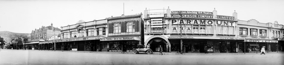
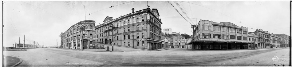
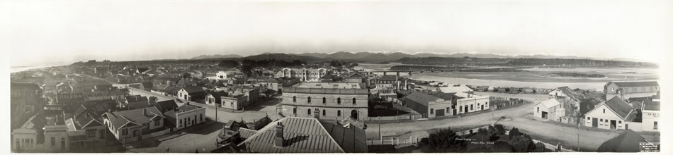
We are recommending that Napier should follow the example of Auckland Council and incorporate the historical aerial photograph collection into the Napier GIS Maps Website. Having the old aerial photographs on the website provides excellent access and the ability to print sections of interest. Incorporation into the GIS system provides an excellent history of the development of any particular locality of interest. Copies of a series of aerial photographs of the Panmure area in Auckland are attached showing the development from farmland and early subdivision in 1940 to established residential and commercial suburbia today. Note the box on the map showing which years views of this area are available. This particular example enabled the site of a long gone ancestral home to be accurately pinpointed in today’s streetscape. Local historians would welcome the opportunity to study similar development in the greater Napier area.
There will some cost and expertise required to complete this project but we encourage the Council to make a start and continue the development of the system in stages over the next few years.
Denis Pilkington
Chairman
Comments are closed.